Log in
All resources
Create a design
451 Free Artworks of Maps Of North America
smithsonian libraries
astronomy
geology
united states
american
language
survey
natural history
description and travel
discovery and exploration
old geological maps by jean-etienne guettard
jean étienne guettard
cartography
maps
picturesque journey to the two americas, asia and africa
puebla in art
1803 maps of the caribbean
maps by john cary
john and sebastian cabot. a study (1886)
cabot's 1544 maps of north america
maps in the library of congress
1900 maps of philadelphia
collections of the museum of the american revolution
david martin (artist)
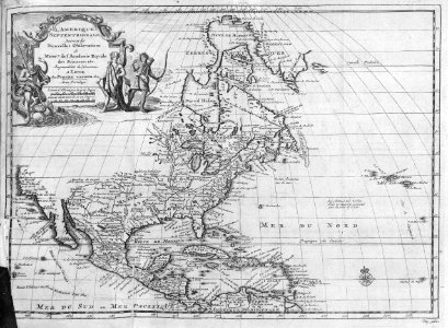
1762 maps of north america
maps by tomas lopez
a map of the provinces of new york and new jersey, with a part of pennsylvania and the province of quebec
maps in the library of congress
maps in the library of congress
1849 maps
maps in the library of congress
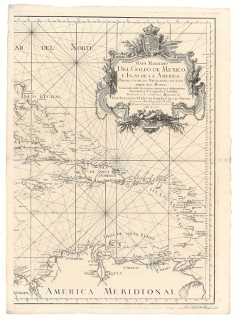
cartes et plans de l'amerique
maps by louis brion de la tour
1782 maps of the caribbean
old maps of the new kingdom of granada
maps by willem and johannes blaeu
maps in the library of congress
1777 maps of north america
1779 maps of the united states
1770s maps of the caribbean
maps in the library of congress
1753 maps
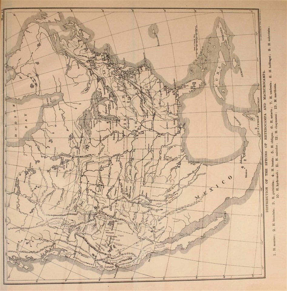
insects
maps
the generall historie of virginia (john smith)
1624 engravings
maps in the library of congress
1777 maps of boston
travel
maps
18th-century double hemisphere world maps
1730s maps of the world
18th-century double hemisphere world maps
1730s maps of the world
maps in the library of congress
1744 maps of north america
travel
maps
a map of the british empire in america with the french and spanish settlements adjacent thereto
bibliothèque nationale de france
a map of the british empire in america with the french and spanish settlements adjacent thereto
bibliothèque nationale de france
1740s maps of the world
maps by emanuel bowen
insects
maps
a map of the british empire in america with the french and spanish settlements adjacent thereto
bibliothèque nationale de france
a map of the british empire in america with the french and spanish settlements adjacent thereto
bibliothèque nationale de france
a map of the british empire in america with the french and spanish settlements adjacent thereto
bibliothèque nationale de france
maps by pieter mortier
maps from gallica
maps in the library of congress
1776 maps
maps in the library of congress
old maps of antigua and barbuda
1762 maps of north america
maps by tomas lopez
a map of the provinces of new york and new jersey, with a part of pennsylvania and the province of quebec
maps in the library of congress
maps in the library of congress
1777 maps of new york (state)
chicago and the midwest, newberry library
1703 maps of north america
maps in the library of congress
1776 maps of new jersey
maps by jean-baptiste bourguignon d'anville
1750s maps of the caribbean
1740s maps of the caribbean
philippe buache
1821 maps of the united states
maps by john cary
travel
maps
bibliothèque nationale de france
maps by thomas kitchin
john and sebastian cabot. a study (1886)
1580s maps of north america
maps in the library of congress
1776 maps
1696 maps of the caribbean
1690s maps of mexico
maps from the earth and its inhabitants, vol. xv
temperature maps of north america
lawrence h. slaughter collection of english maps, charts, globes, books and atlases
covens en mortier
geocentric model
1730 maps
maps from the earth and its inhabitants, vol. xv
maps of native american tribal territories
maps in the library of congress
1777 maps
mappe-monde geo-hydrographique (sanson and jaillot, 1674)
cartography of france
surveying in the united states
1854 maps of california
juan de la cruz cano y olmedilla
1750s maps of the caribbean
maps from the earth and its inhabitants, vol. xvi
ethnographic maps of north america
maps from the earth and its inhabitants, vol. xvii
linguistic maps of north america
north carolina algonquin
la virginea pars
maps from the earth and its inhabitants, vol. xvii
linguistic maps of north america
maps by joachim bormeester
1680s maps of the world
astronomy
maps
picturesque america; or, the land we live in (1872)
1872 maps
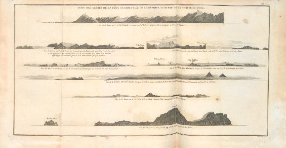
admiralty charts region u: north america east coast
admiralty charts 201-400
a map of the provinces of new york and new jersey, with a part of pennsylvania and the province of quebec
maps in the library of congress
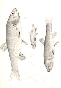
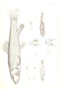
the book of fish and fishing (1908)
freshwater fish
astronomy
maps
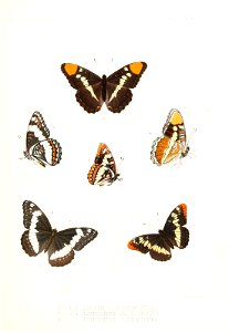
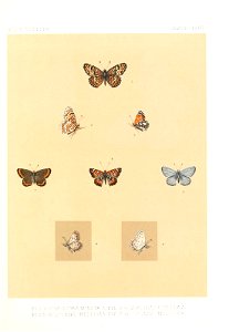
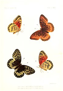
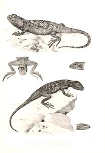
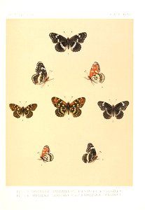
butterfly
maps
astronomy
maps
astronomy
maps
maps in the library of congress
1776 maps of new york (state)
maps of the san francisco bay area
1854 maps of california
astronomy
maps
astronomy
maps
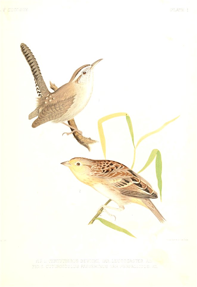
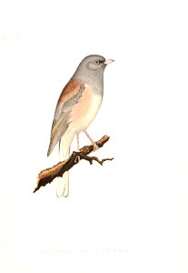
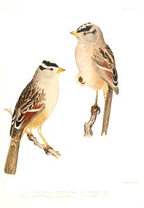
bird
maps
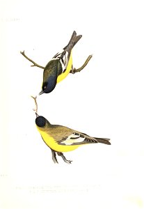
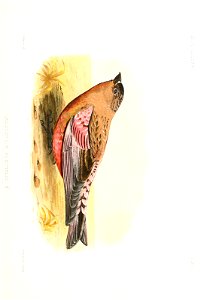
bird
maps
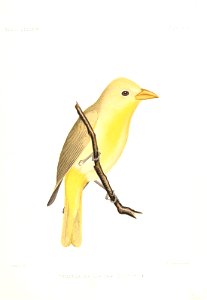
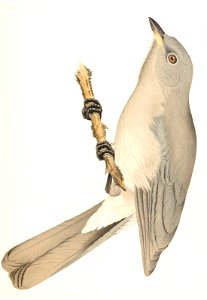
bird
maps
bird
maps
astronomy
maps
astronomy
maps
bird
maps
bird
maps
bird
maps
astronomy
maps
bird
maps
bird
maps
bird
maps
bird
maps
bird
maps
géographie générale; physique, politique et économique (1876)
1876 maps of north america
media contributed by university of illinois urbana-champaign university library
tranquillo mollo
fish
maps
astronomy
maps
astronomy
maps
fish
maps
bird
maps
astronomy
maps
maps in the library of congress
1776 maps of new jersey
maps from the earth and its inhabitants, vol. xviii
weather and climate of north america
old maps of nova belgica et anglia nova
maps by willem and johannes blaeu
physical geography (1899) by davis
1899 maps of north america
301 - 400 of 451
Next page
/ 5


![Charter of North America: to Arrowsmith; v. Humboldt and other reliable aids / designed by Joseph Dirwald[t], Tranquillo Mollo, 1819](https://cdn.creazilla.com/illustrations/10001323555/charter-of-north-america-to-arrowsmith-v-humboldt-and-other-reliable-aids-designed-by-joseph-dirwaldt-tranquillo-mollo-1819-sm.webp)